
Expert Gemstone Consultancy and Mining Services
Explore, mine, cut, polish, buy, sell gems, geological mapping, mining skills coaching
Trusted by gemstone industry professionals worldwide
★★★★★
ZGC: Your Gemstone Experts
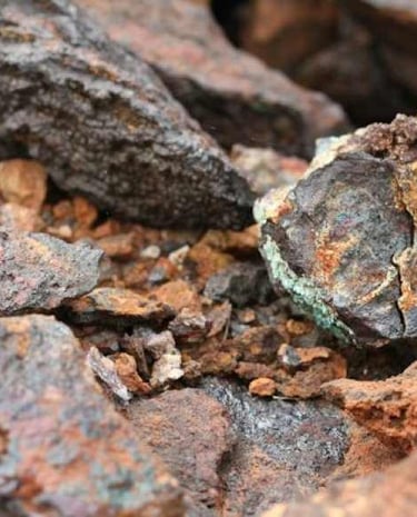
Discover the world of gemstones and minerals with ZGC, offering expert services in exploration, mining, cutting, polishing, buying, selling, geological mapping and land assesment.


Forward Thinking
We are commitment to sustainability. We strive to leave a positive footprint, preserving nature's balance while extracting and showcasing the splendor of ethically sourced gemstones.
You want to Join us?
VISION
CORE VALUES
MISSION
Promote sustainable mining for the betterment of all and provide transformative mining and GIS consultation services.
Make use of data and innovation to optimize the mining value chain and provide mining, agriculture, construction solution using GIS technique.
1. Delivering Outstanding results
2. Acting with Integrity
3. Embracing Change
4. Remaining Optimistic
5. Maintaining Curiosity
Our Team
"A journey of a thousand miles begins with a single step"
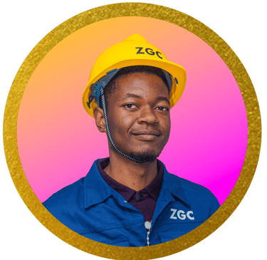
John Vasco Chidule
Founder, CEO
Co-founder, Marketing Manager
Co-founder, ICT Manager/Designer
Faith Makwera
Emmanuel Phiri


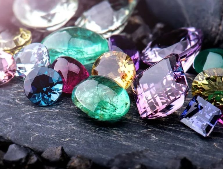
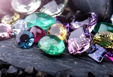
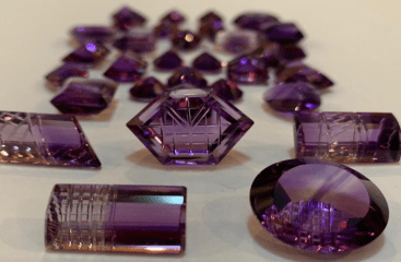
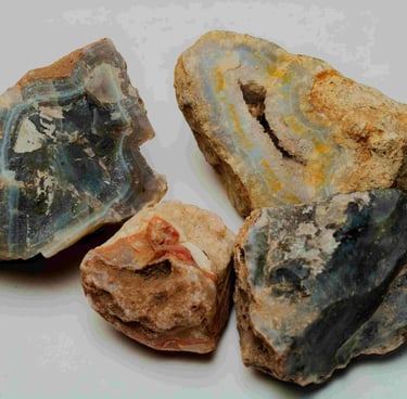
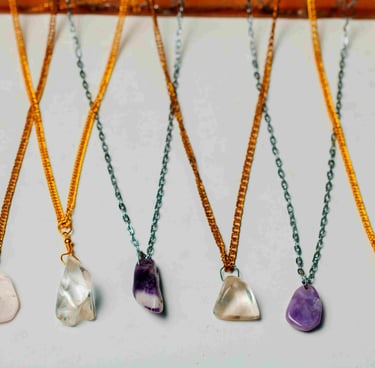
Our Products
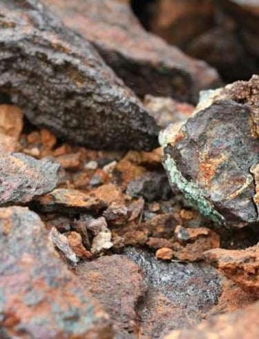
We have a wide range of gemstones and minerals of different qualities and varieties; raw and polished


What Our Clients Say
Professionalism unparalleled. ZGC delivered exceptional gemstone mining and cutting services.
Ephraim Zimba
Malawi
ZGC's gemstone identification and analysis services are top-notch. Highly recommend them!
Sam Rosewell
New York
★★★★
★★★★★
Reach out to us
About
ZGC - Zozodo Gemstone Consultancy and Mining Limited. We provide end-to-end gemstone mining and consultancy services. Leveraging expertise in exploration, operations, cutting/polishing, and global trade, Zozodo maximizes value for clients while empowering mining communities through sustainable projects and social initiatives supporting responsible artisanal mining
Info
Contact us
© 2026. All Rights Reserved by ZGC
+265 990 582 440 / +265 880 112 277
zozodogemstone@gmail.com
PO BOX 73, Mzimba Gemstone, Malawi